National 5A Scenic Area
Qinghai
Qinghai Lake
China’s largest lake — a saline inland sea at 3,196 meters, big enough that the far shore drops below the horizon.
Location profile
At a glance
- Province or region
- Qinghai
- National rating
- 5A Scenic Area
- Coordinates
- 37, 100.133333
Scale and setting
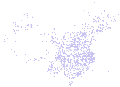
Qinghai Lake sits on the northeastern edge of the Tibetan Plateau in Qinghai Province, spanning the boundary between Haibei and Hainan prefectures, centered near 37.0°N, 100.1°E at about 3,196 meters above sea level. At roughly 4,500 square kilometers it is the largest lake in China and the largest saline lake in the country — an endorheic basin, meaning its rivers flow in and nothing flows out, which is why the water is salt.
The lake gave the province its name. Its size is hard to register from the shore: standing at the water’s edge, the opposite side is simply not there, and the loop road around it runs about 360 kilometers.
Where visitors actually go
The 5A scenic area centers on Erlangjian, a promontory on the southern shore reached from the road between Xining and the west. Bird Island, on the western side, is the other classic stop — a breeding and staging site for migratory birds including bar-headed geese, with the birds present in spring and early summer rather than year-round.
The image most people arrive for is July: sheets of yellow rapeseed flowering along the northern and eastern shores against the blue of the lake. That window is short and it is the busiest few weeks of the year. The lake also lends its name to a long-running international road cycling race, and the ring road carries cyclists all summer.
Altitude and weather
At over 3,000 meters, arriving directly from low elevation can bring altitude symptoms; most visitors come via Xining, which sits lower and makes a reasonable staging point. Ultraviolet exposure at this elevation is severe even on cool days.
Weather changes quickly and the wind off the water is cold in any season. Winter brings ice, and the lake has frozen over in cold years, but access and services are much reduced outside the summer months.
What the 5A rating tells you
China's national scenic area system uses 5A as its highest quality tier. The assessment considers the attraction itself together with visitor services, accessibility, safety, cleanliness and site management. It is a quality classification, not a live status feed: opening hours, ticket rules and entry procedures can still change.
Planning your visit
Use the coordinates above to identify the correct entrance area, especially when English map labels vary. Before setting out, confirm current opening dates, reservation requirements, passport rules, transport access and weather conditions through the attraction or local tourism authority.
Save the English name and coordinates on your phone before setting out. They help you distinguish the correct entrance when map labels or ticket listings use several different romanizations.